
county maps
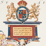
Saxton's map of Shropshire, 1577
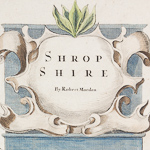
Robert Morden map of Shropshire
Antique Road Map, London to Shrewsbury

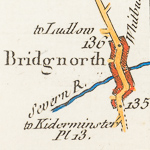
Baugh map of Shropshire

Speed map of Shropshire
Reuben Rambler's Travels 1848
Introduction
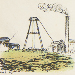
County maps are, for most parts of Shropshire, the earliest maps to have been created. They date from 1577 to mid 19th century. This guide deals with county maps, road strip maps, and other examples, which were usually produced as pages within a National Atlas. We have chosen six to illustrate the scope of available maps and, for the chosen examples, the most useful attributes are described:- Reproductions of the most important maps, in terms of any original surveying etc, are available on open access in our Reading Room – map chests 2, or can be purchased from us via Shropshire Archives website shop pages.
If you visit, you can check our catalogue for the full list of original prints, which are available to view with a reader’s ticket in the Search Room – C folder-County Maps.
